

The Trap Hills
LOCATION: Ontonagon County, southwest of Rockland, MI, about 20 miles southeast of the Porcupine Mountains Wilderness State Park
AREA PROPOSED: 25,000 acres
Map of proposed wilderness area. Click here to expand.
The Trap Hills are located in Ontonagon County between US-45 and M-64. The area has generally resisted human disturbance due to its rugged landscape and harsh climate. During Michigan’s mid-1800s copper boom, human presence briefly increased; however, the area’s residents moved out when the mines closed, and little evidence of related human activity remains in the area today.
With a motivated constituency and a valuable landscape, Wilderness experts in Michigan argue that the Trap Hills could be an immediate, viable option for National Wilderness designation.
The Trap Hills Conservation Alliance and Northwoods Wilderness Recovery have previously advocated the designation of the area as Wilderness. However, due to growing concerns over the threat of potential logging, including the Trap Hills in the National Wilderness Preservation System is now more urgent than ever.
Why Protect Trap Hills?
An overall lack of human intrusion has resulted in a pristine and nearly undisturbed habitat for a diverse wildlife population.
The vast majority of the Trap Hills is government-owned and within the Ottawa National Forest.
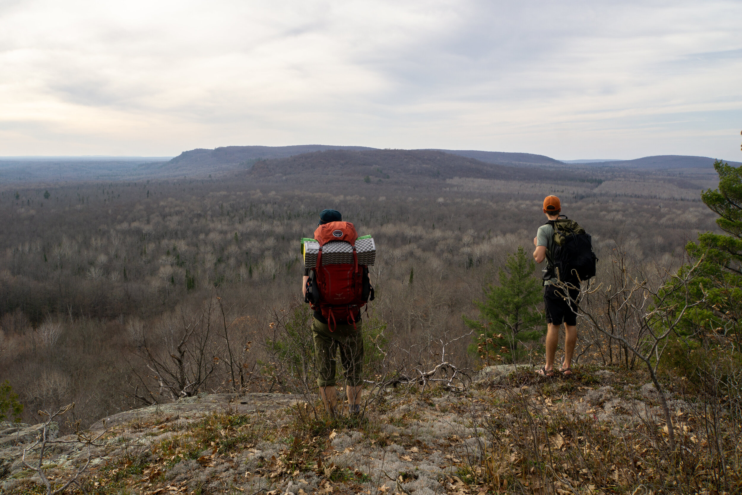
Much of it is already located in a non-motorized area. Although there is a small collection of roads used to access the trails and a few motorized trails, one can easily find the remoteness and serenity that a Wilderness designation requires.
Forest and Vegetation
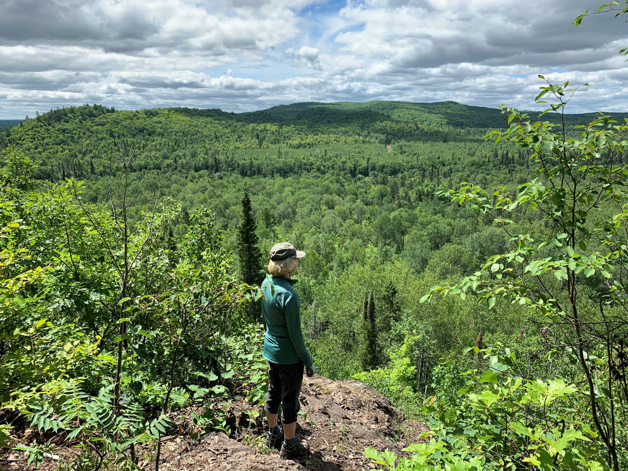
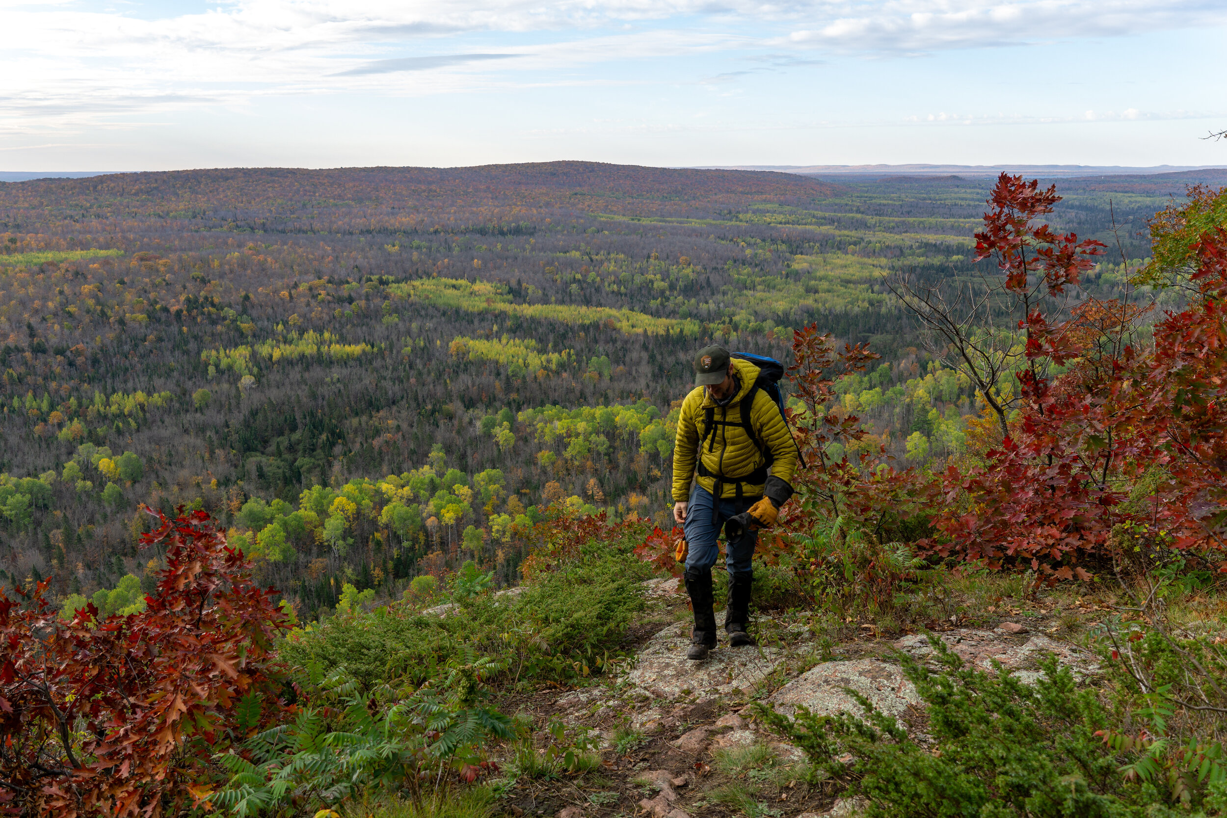
The area also features a diverse array of flora such as boreal and northern hardwood forests, cedar swamps, and lichen-encrusted cliffs as well as less common plant species like fairy bells and Braun’s holly fern.
Topography
According to the Forest Service, the Trap Hills are “comprised of large tracts of undisturbed forest, rugged slopes and ridges, streams, waterfalls and ponds, [and they offer] solitude and [a] sense of remoteness that is unique in the Great Lakes area.” In addition, the highest sheer cliff in Michigan is found in the Trap Hills, boasting visibility of up to 40 miles and views of some of Michigan’s most spectacular scenery.


