


The Ehlco Area
LOCATION: Ontonagon County, immediately south of the Porcupine Mountains Wilderness State Park
AREA PROPOSED: 16,000 acres

Map of proposed wilderness area. Click here to expand.
The Ehlco area is located in Ontonagon County in the Bergland Ranger District of the Ottawa National Forest just south of the Porcupine Mountains Wilderness State Park. It was purchased in small parcels mostly by the U.S. Forest Service from the Edward Hines Lumber Company (hence, “Ehlco”) between 1937 and 1969. After decades of resource extraction in the early to mid-1900s, the Ehlco area has had over fifty years to return to a natural, untrammeled state. The Forest Service recommended Ehlco for Wilderness evaluation in 2003, and it remains a valuable candidate today.
Why protect the Ehlco Area?
Ehlco is a strong candidate for National Wilderness designation because it is expansive, largely free from non-native vegetation, natural, secluded, and almost completely federally owned. The designation of Ehlco along with the Trap Hills and Norwich Plains would create a nearly contiguous Wilderness area of almost 50,000 acres.
Forest and Vegetation
Ehlco consists of a young to mid-successional forest containing upland hardwoods, lowland conifers, lowland hardwoods, and smaller numbers of hemlock, aspen, and paper birch. The vegetation includes ferns, sedges, and spring ephemerals as well as a variety of shrubs, tree seedlings, and forest floor mosses.

Fauna
White-tailed deer, black bears, and numerous bird species are frequently found in the area. At least one wolf pack claims Ehlco as its territory. The low road density in conjunction with the proximity of the Porcupine Mountains Wilderness State Park provides a remote habitat ideal for wolves and similar species.
Topography
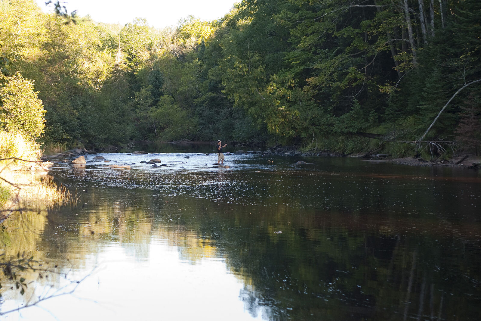
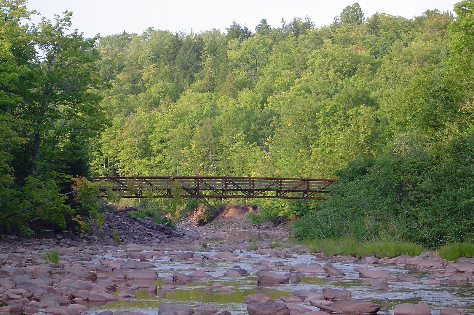
The area is gently sloping and ranges from nearly level to moderately steep in its larger river drainage systems—the West Branch Big Iron River and the Big Iron River. Roughly half of Ehlco’s area consists of wet drainways, depressions, low-lying areas, and floodplains with fine-textured soils.
